
WHEN HISTORY DOESN’T MAKE SENSE: GIGANTIC ANCIENT CANALS
Robert John Langdon is the author of 13 Things That Don’t Make Sense In The Ancient World and here he takes a look at Gigantic Ancient Canals that are technically superior to even Victorian engineering.
A ‘Dyke’ is a word used to represent either a wall or protective mound to keep out or channel water, so why do we have such large dykes such as ‘Offa’s Dyke’ on the England/Wales border and ‘Wansdyke’ in Wiltshire on top of hill’s miles away from any form of water?
It has always been believed that some of these dykes (canals) were originally built as medieval defensive walls, but that is far from the truth. The current dating for these monuments have been obtained by artefacts found at the bottom of their ditches, and although there are many artefacts of Roman origin, some stone and flint tools have also been located in or near the structures. Yet archaeologists are loathe to date them as prehistoric, although we have seen similar ditches contained within monuments such as Avebury, which were undertaken thousands of years before the Romans.
This type of historical confusion can be found at two of our biggest dykes in Britain:
 Offa’s Dyke which is over 81 miles long and named after King Offa (730 – 796) who was supposed to have built it to defend Britain against the Welsh tribes. Sadly, for traditional archaeologists, recent investigations have shown that it was used much earlier as Roman artefacts were found at the base of one of the ditches.
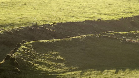
The other is Wansdyke in Wiltshire; this dyke is over 21 miles long. It can be, in places, up to 65 feet wide and 8 feet deep. It is built in a straight line with a bank to one side, which is also believed to be a defensive structure – even though attackers could walk around the edge of the ditch without obstruction.
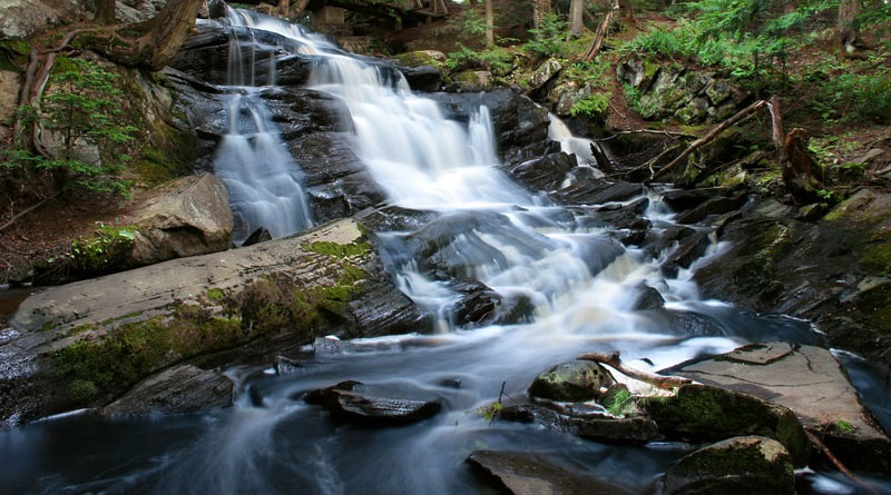
Recent discoveries of ‘Post Glacial Flooding’ shown on the British Geological Maps and investigated in recent books have indicated that these dykes were constructed in a time when superficial deposits were formed by the flooding after the last ice age, when man had returned to Britain less than 10,000 years ago.
The Kennet and Avon Canal is a waterway in southern England with an overall length of 87 miles (140 km), made up of two lengths of navigable river linked by a canal. The name is commonly used to refer to the entire length of the navigation rather than solely to the central canal section. From Bristol to Bath, the waterway follows the natural course of the River Avon before the canal links it to the River Kennet at Newbury, and from there to Reading on the River Thames.
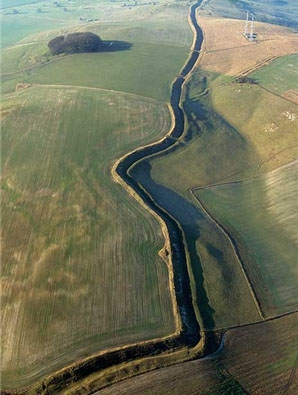 Quite remarkably Wansdyke was constructed just 3 km north of the Kennet and Avon canal and the new prehistoric waterway maps of Britain show it had the same result of joining the River Thames to the Bristol Channel some 6-8K years before the Victorian’s great canal system.
The major difference between to two canal systems was the technique used to maintain the water levels within the canal. The Victorian used a lock system entrapping river flow; the ancients used a much more sophisticated natural system of ground water levels, which allowed the canal to be shorter and more direct.
Clearly, the builders of this quite remarkable system had knowledge of hydrology far greater engineers even today. So who were these great engineers and what happened to them? History needs to revisit past accepted beliefs in search of true answers.
 ABOUT THE AUTHOR
Robert John Langdon is a writer, historian and social philosopher who has worked as an analyst for the government and some of the largest corporations and education institutes in Britain including British Telecommunications, Cable and Wireless, British Gas and University of London. www.the-stonehenge-enigma.info